Walcheren
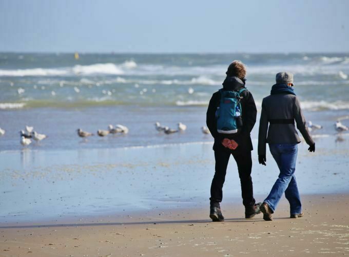
Walcheren is partly located on the North Sea and on the Western Scheldt. The beaches offer views of sea ships sailing close to the coast. The beaches are among the cleanest in the Netherlands. The nature reserve De Manteling of Walcheren consists of forests, dunes, stately lanes, and classic country estates. From the 17th to the 19th century, the Middelburg elite lived here in the summer. Domburg is the oldest seaside resort on the Walcheren coast.
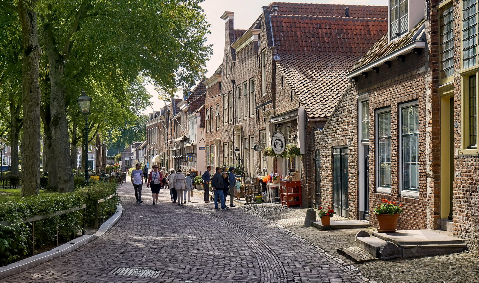
Already in Roman times, the area around Walcheren was inhabited, and Domburg was an important trading place. After the 4th century, Walcheren became a county, and in the 9th century, it received ring forts for protection against the Vikings. Middelburg, the middle fortress between Domburg and Souburg, was founded around that time. In the 16th and 17th centuries, this city grew into one of the largest port and trading cities in the Northern Netherlands.
Walcheren has been a peninsula since the end of the 19th century when the Sloe Dam was constructed, and the railway line from South Beveland was extended to Vlissingen.
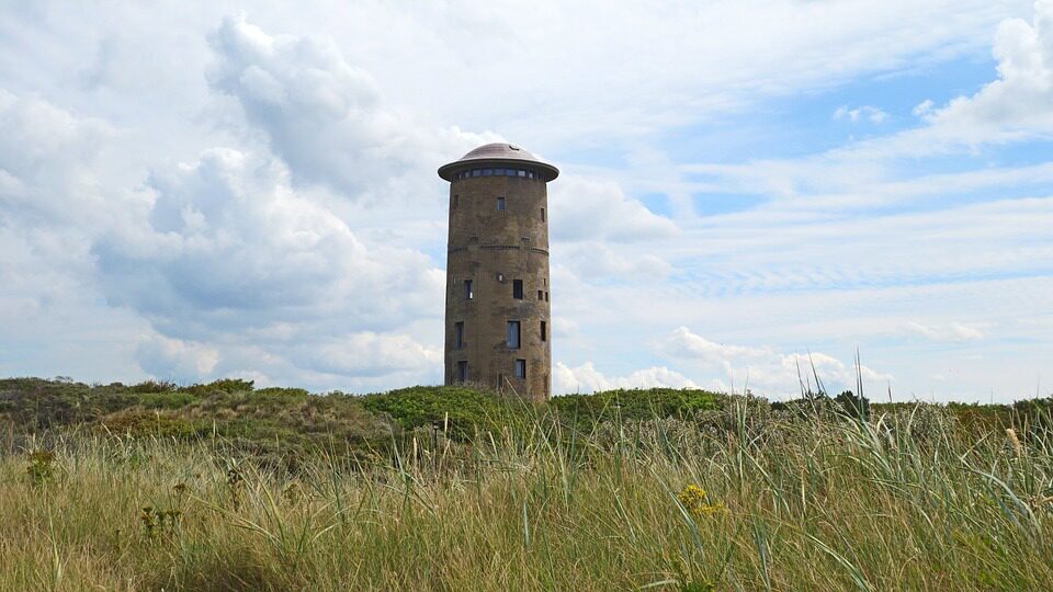
During World War II, Walcheren turned into a large fortress because the German occupiers expected a major attack on the island. About 200 bunkers were built. The fighting was particularly fierce near the Sloe Dam, and many casualties were suffered. A large part of Walcheren was flooded by the Allies in 1944 to weaken the position of the occupiers. Eventually, Walcheren was liberated on November 8, 1944. During the North Sea flood of 1953, Walcheren largely kept dry. The construction of the Veerse Gat Dam, part of the Delta Works, led to the creation of the Veerse Lake. It is now a popular water sports location in Zeeland. The folkloristic sport of ring riding is particularly popular on the island of Walcheren. Almost every place has its own competition. In ring riding, the rider sits on a horse without a saddle and tries to spear a ring with a lance while galloping.
Vrouwenpolder
Middelburg
Vlissingen


Veere


